Collaborative Research Support Programs (CRSPs)
Digital Atlas 2002
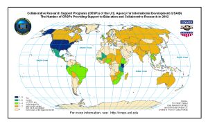
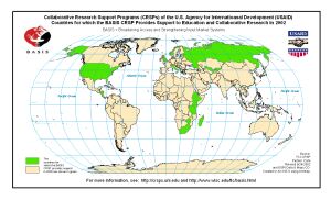
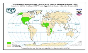
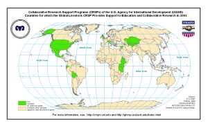
Countries and States of the USA in which CRSPs Supported Collaborative Research and Education in 2002, rev. 7/19/2002
Map - see larger versions to right
Larger Versions
of Map
(dimensions
in pixels)
Map - see larger versions to right
Larger Versions
of Map
(dimensions
in pixels)
CRSPs
per Country
800 x 486
1024 x 622
1344 x 816
BASIS CRSP
800 x 486
1024 x 622
1344 x 816
BEAN/COWPEA
CRSP
800 x 486
1024 x 622
1344 x 816
GLOBAL
LIVESTOCK
CRSP
800 x 486
1024 x 622
1344 x 816
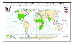
INTSORMIL
CRSP
800 x 486
1024 x 622
1344 x 816
more maps
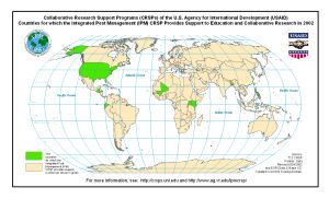
IPM CRSP
800 x 486
1024 x 622
1344 x 816
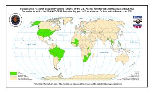
PEANUT CRSP
800 x 486
1024 x 622
1344 x 816
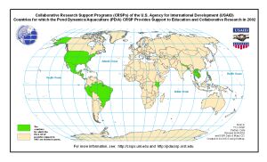
POND
DYNAMICS/
AQUACULTURE
CRSP
800 x 486
1024 x 622
1344 x 816
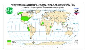
SANREM CRSP
800 x 486
1024 x 622
1344 x 816
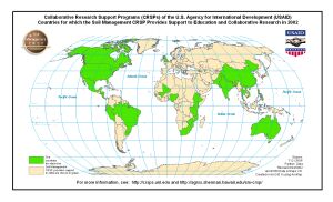
SOIL
MANAGEMENT
CRSP
800 x 486
1024 x 622
1344 x 816
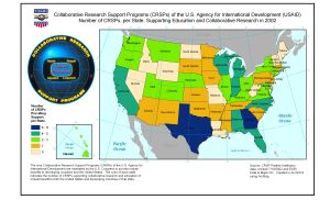
CRSPS PER
STATE
800 x 486
1024 x 622
1344 x 816
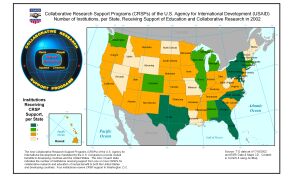
CRSP
INSTITUTIONS
PER STATE
800 x 486
1024 x 622
1344 x 816
Last modified 5/30/2011