Hike to the Summit of Mt Shasta, California, USA, August, 1972
Mount Shasta: Elevation: 4,317 m, or 14,179 ft, Coordinates: 41°24'33.11"N, 122°11'41.60"W
Mount Shasta seen from the southwest
Looking upward on Mount Shasta
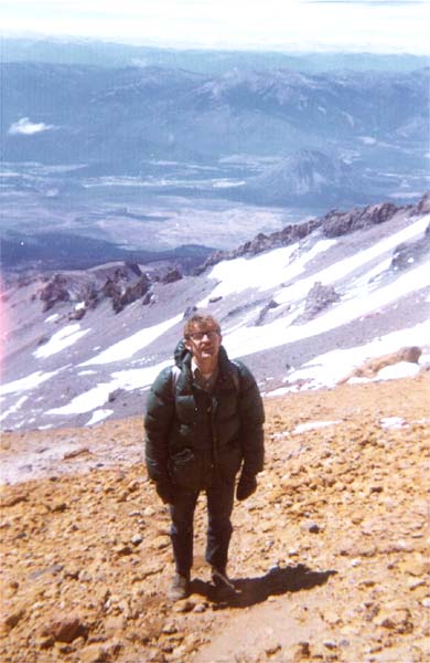
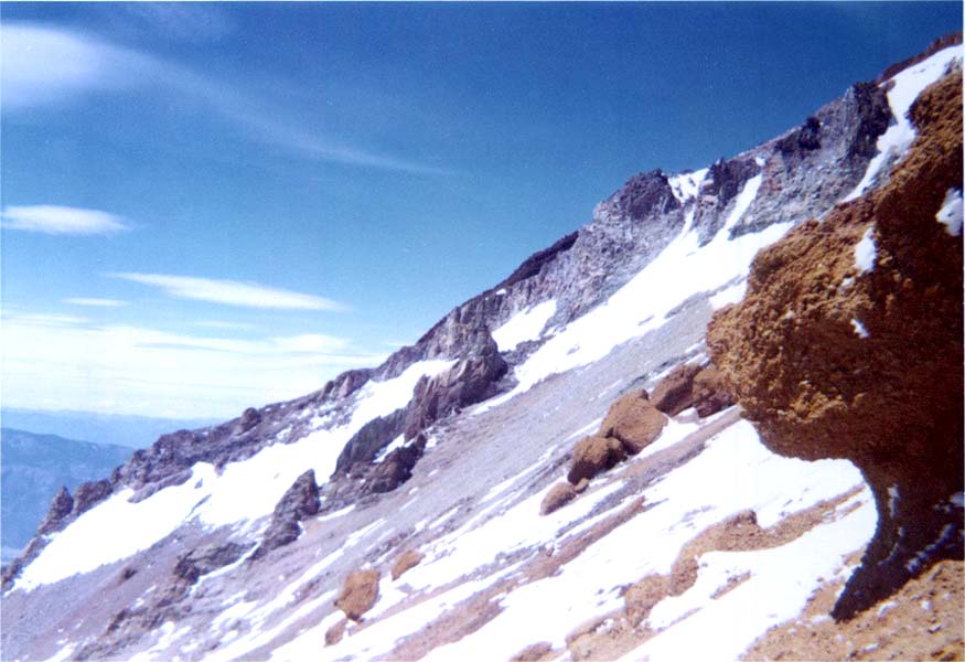
South flank of Mount Shasta
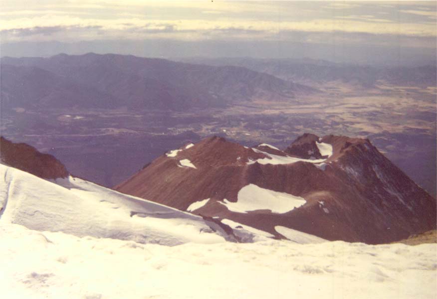
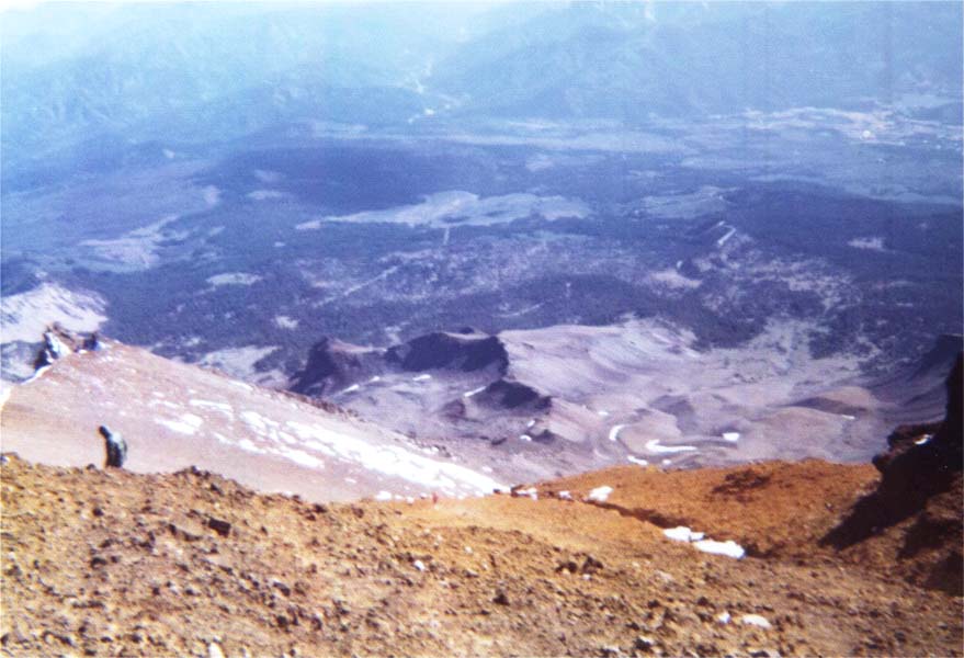
Looking down on Shastina from Mount Shasta
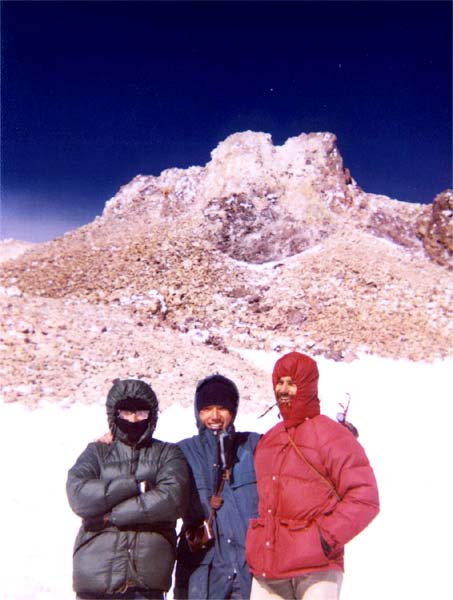
Summit of Mount Shasta
Intrepid hikers with summit of Mount Shasta in background
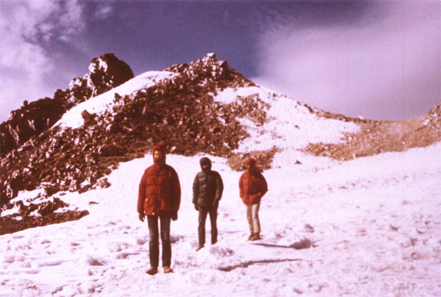
Descending from summit of Mount Shasta
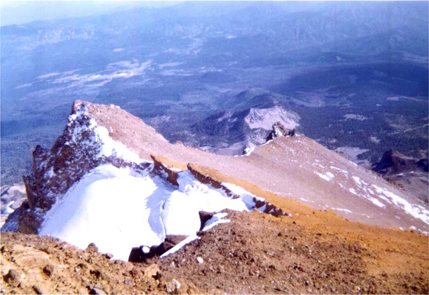
The Red Banks of Mount Shasta seen from above
The Red Banks of Mount Shasta seen from above
Descending to the Red Banks of Mount Shasta
The Red Banks of Mount Shasta
Back to the home page . . .