Tree line at western base of Mount Shasta
Avalance Gulch and Mount Shasta with morning clouds

Mount Shasta with moving, morning clouds
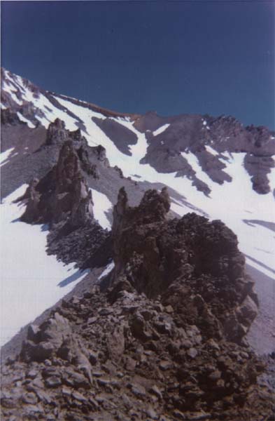
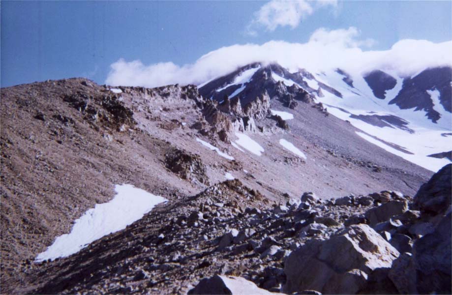
Ridge line with Red Banks and the Heart in the background
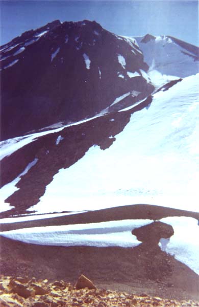
Cascade Gulch
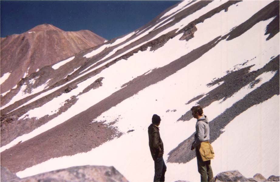
Reconnoitering the route to Shastina
Mount Shasta viewed from above the saddle
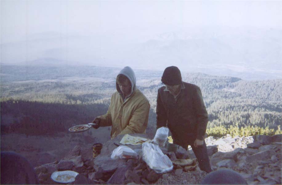
Cooking breakfast

Campsite at saddle between Shastina and Mount Shasta
Shastina on right with valley in background
Shastina

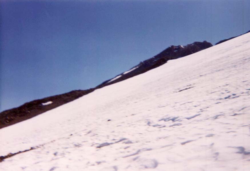
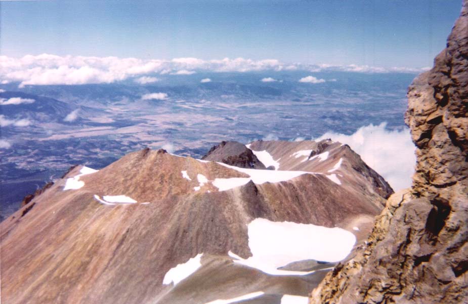
Snowfield inside Shastina
Mount Shasta viewed from Shastina
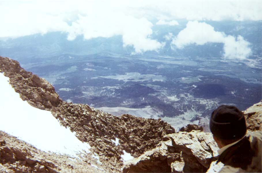
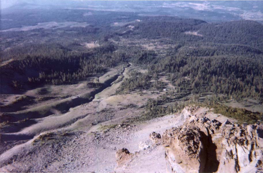
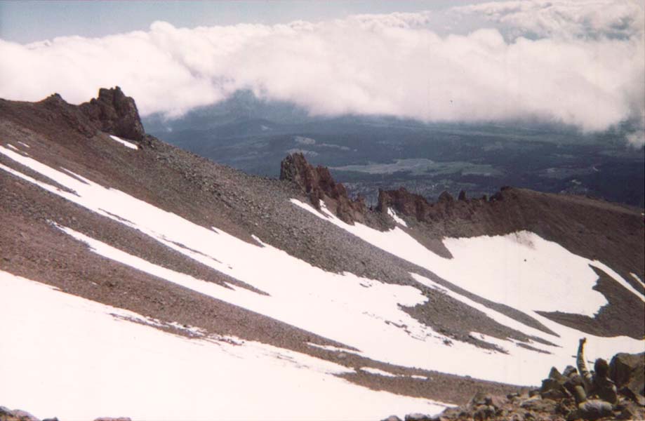
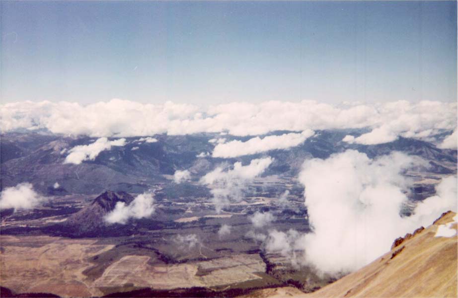
Looking southwest from Mount Shasta to the valley below
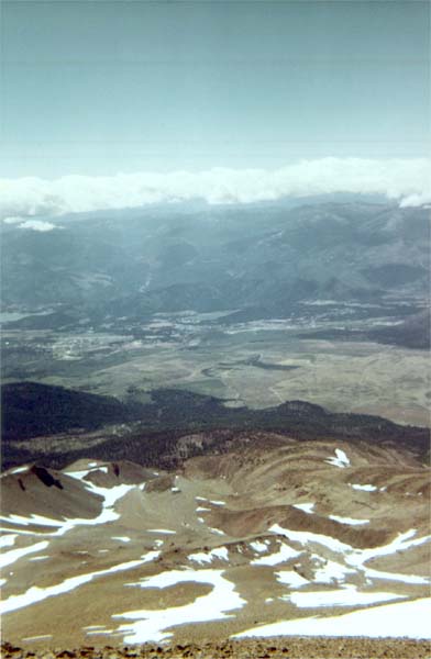
Looking southwest from Mount Shasta to ghe valley below